 |  |


NRL Tropics Indian Ocean, Indonesia, and Wester Pacific view
MODIS Real Time Images Marianas Subset
MODIS Real Time Images Southern New England Subset
MODIS Real Time Images UK and Ireland Subset
MODIS Real Time Images Iceland Subset
MODIS Real Time Images Close-up Iceland Subset
MODIS Real Time Images Japan Subset
MODIS Real Time Images Timor Sea Subset
MODIS Real Time Images Horn of Africa
Subset
MODIS Real Time Images Red Sea Subset
MODIS Real Time Images Eastern Mediterranean Subset
European and North African Modis Subsets
Modis view of Western Micronesia (must set date)
Modis view of Eastern Micronesia (must set date)
Modis view of France(must set date)
NOAA Geostationary Satellite Server
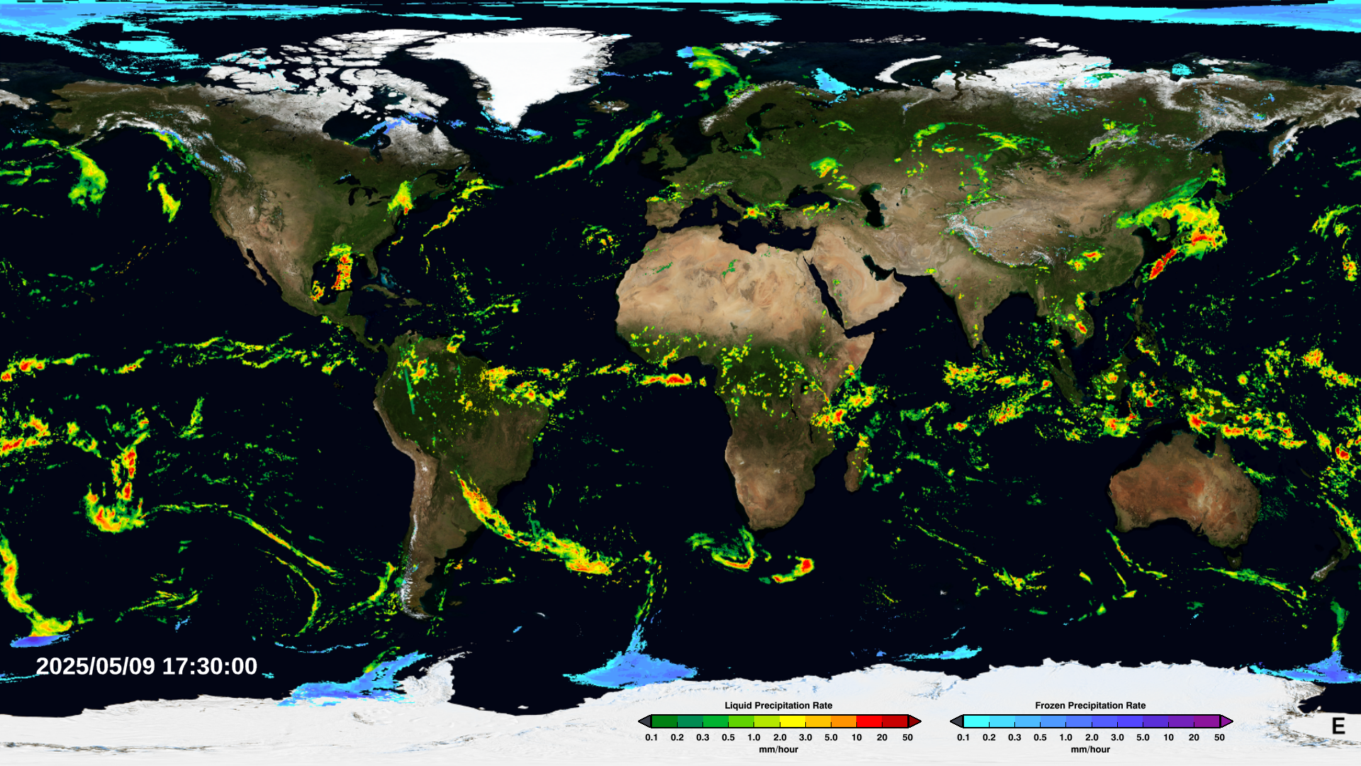
STAR Satellite Rainfall Estimates World Zones
Japanese Realtime Rainfall Watch
Japanese Realtime Rainfall Watch Japan area
Japanese Realtime Rainfall Watch Guam area
Japanese Realtime Rainfall Watch Palau area
Japanese Realtime Rainfall Watch Yap area
Japanese Realtime Rainfall Watch Chuuk area
Japanese Realtime Rainfall Watch Pohnpei area
Japanese Realtime Rainfall Watch Majuro area
Pacific Tropical Satellite Imagery
Pacific Tropical Satellite Imagery
Land Coverage - Satellite Imagery
RAMSDIS Online-Himawari Satellite data here
Western Pacific Morphed TPW image files
Western Indian Ocean Morphed TPW image files
Polar Mapped Mosaic Composites Satellie images
Experimental GOES Surface Wind Composite over U.S.
Satellite Sea Height Anomaly Interface
VIIRS Imagery and Visualization Team Blog
VIIRS
Visible/Infrared Imager/Radiometer Suite
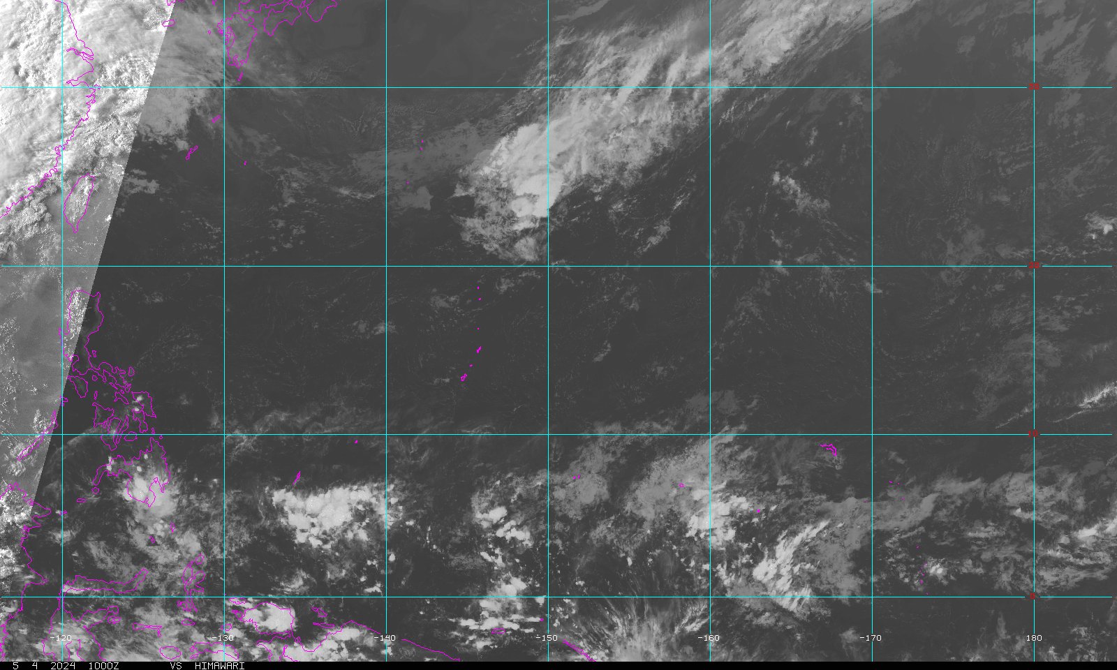
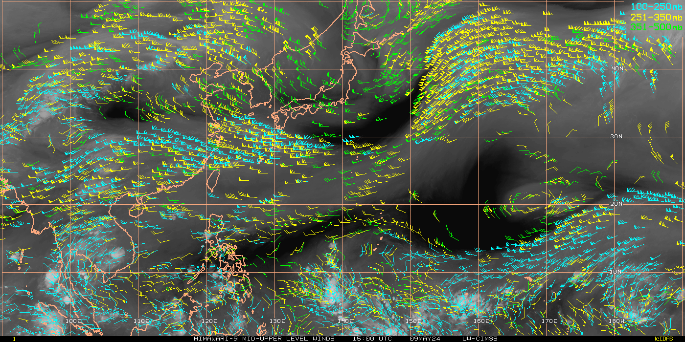
Himawari Satellite Imagery-Set Sectors
Himawari Satellite Imagery Veggie Band-0.86um